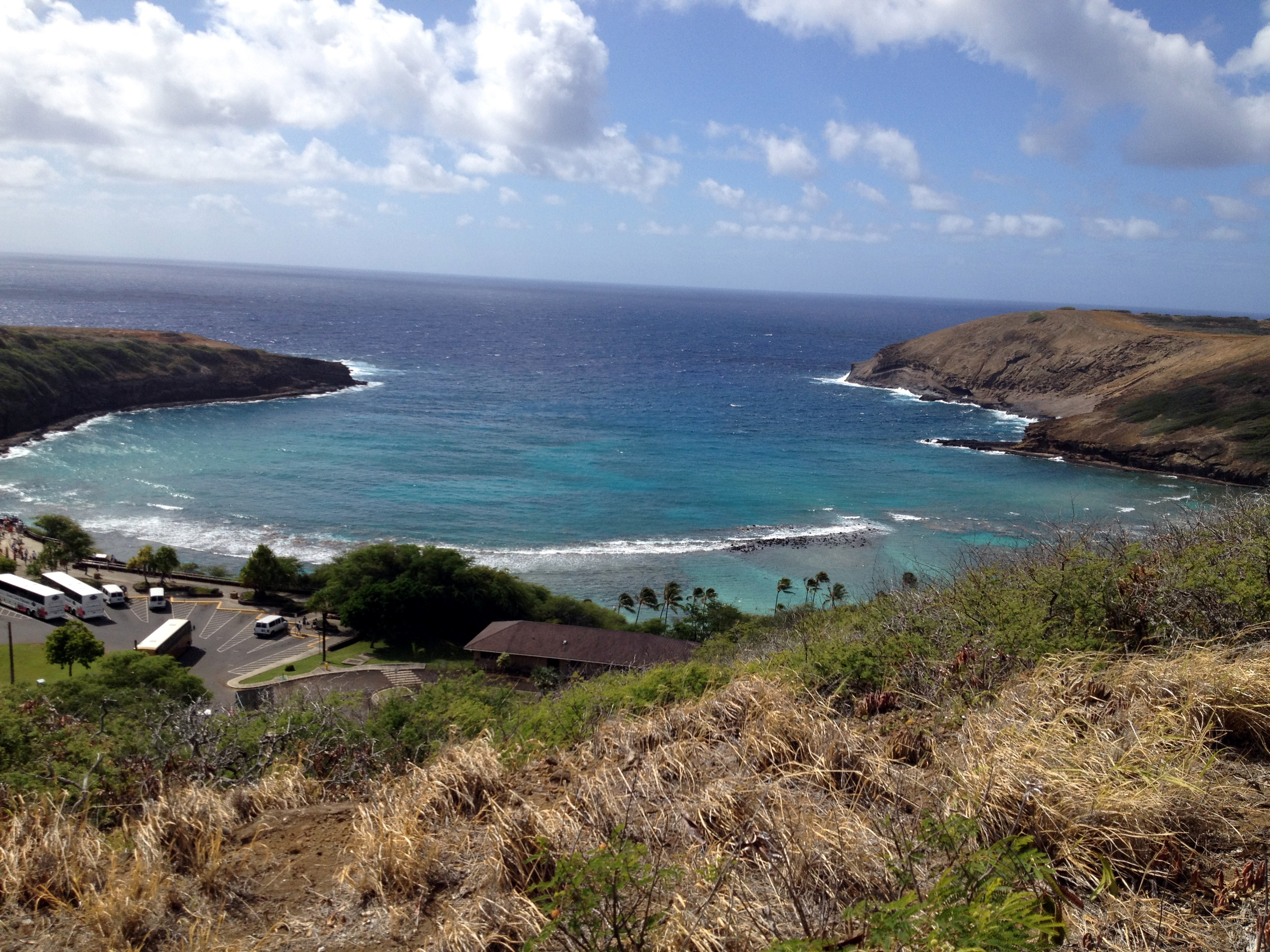
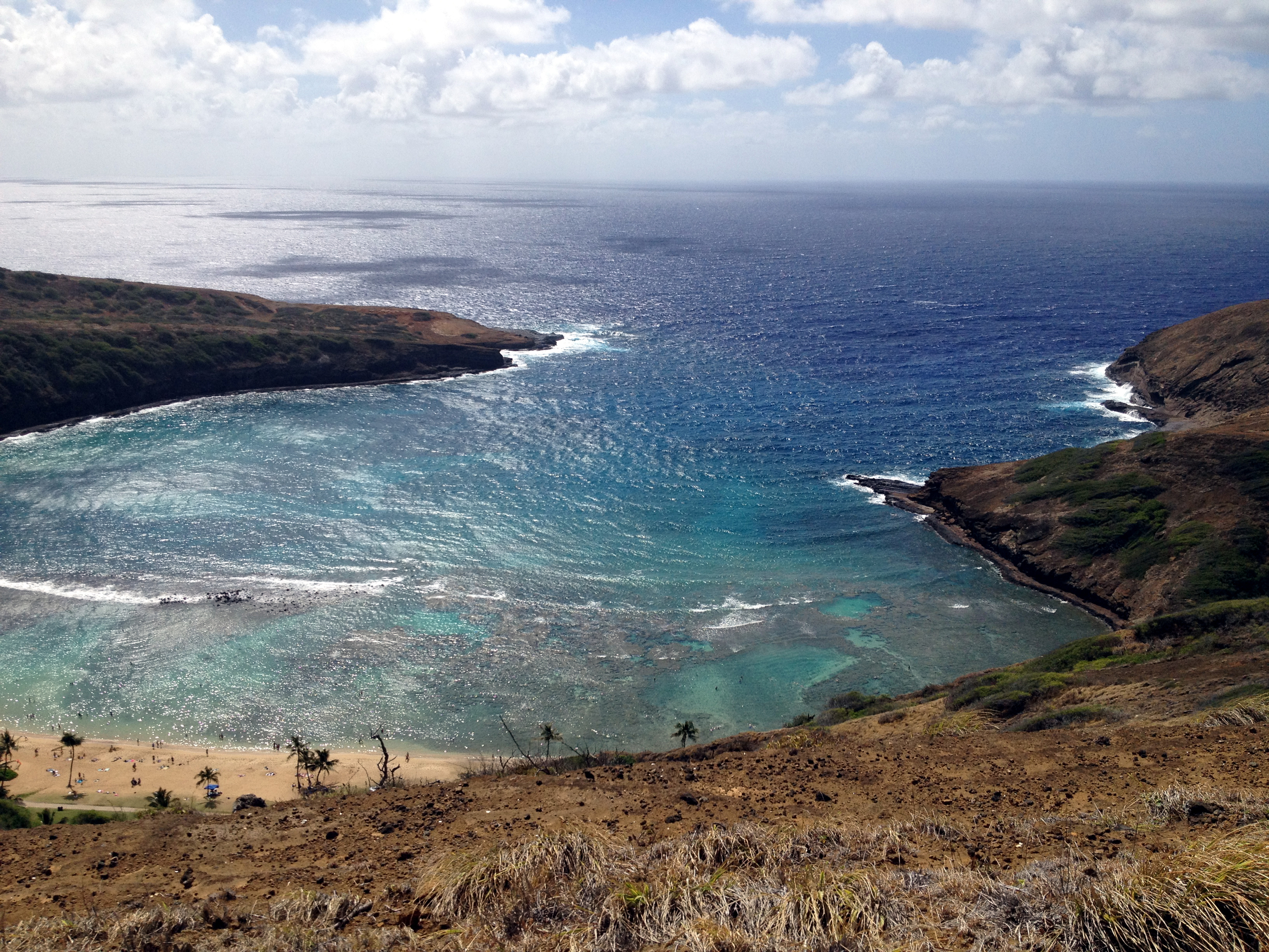
 Howdy campers! This is a good trail for a workout! Not only do you get a brisk walk up a long paved service road, but the adventurous can head off road to some amazing views. It is not the most glorious hike at the start, but after you hit the top you will be rewarded with some spectacular views of the bay. On the other side, you will be able to see all the way to Diamond Head! As you head down into the crater, the views of Hanauma bay are scrumptious. The coral reefs are crisp and clear from these rocky spots. As a back drop, who could complain about Koko Head? You can see all the way to the top of it and even the tiny ant-like hikers heading up the side in the distance. Cool stuff!
 Distance: 3.57 Miles
elevation: 96'-684'-107'
Difficulty: 2.5-3
Terrain: 2-3
Time: 3H, 9Min, 14Sec.
Caloric output: About 1 ham, egg, and cheese breakfast sandwich and some grapes. ;-)
Fluids: Approx. 42 Oz water
Geo Cache: 3
Way Points: Park: 21°16'28.03"N 157°41'59.68"W
Trail Head: 21°16'29.15"N 157°41'52.42"W
A: Service Road 21°16'26.91"N 157°41'50.40"W
B: Nice view 21°16'9.04"N 157°41'59.56"W
C: Intersection 21°16'6.64"N 157°42'0.94"W
D: View 21°16'3.16"N 157°42'3.72"W
E: Towers 21°15'59.15"N 157°42'8.20"W
F: GPS Tracking Station 21°15'53.34"N 157°42'11.86"W
G: Cool view! 21°15'43.73"N 157°42'14.77"W
H: Off road 21°15'45.53"N 157°42'13.55"W
I: Down, down, down 21°15'50.98"N 157°42'8.34"W
J: Off trail 21°15'47.79"N 157°41'48.93"W
K: Heiau 21°15'51.43"N 157°41'44.95"W
L: View 21°15'55.59"N 157°41'42.89"W
M: Top of Mars hill 21°15'58.13"N 157°41'49.53"W
I have indicated in blue on the map some side trails worth exploring.
OK! Here we go! You will want to park your car in the nearby neighborhood. (Nawiliwili St.) For those who are spending the day at Hanauma bay, parking is only a dollar and a short hike back up to the entrance of the park. It is only a short walk to the trail head from here, or from the neighborhood. As you head off the road and into the dirt, you want to stay going up. Eventually (about 75 yards) you will get to a service road. From this spot, you will get your first view looking down into the bay. So cool… Ok, head on up, up , up! It is not too steep, but if you are hoofing it, you may get to breathing hard. Along the way, you will find numerous spots to stop and look over the edge. You will also be able to make out some of the trails below. Some of these trails, you will be on in a while so get your bearing’s.
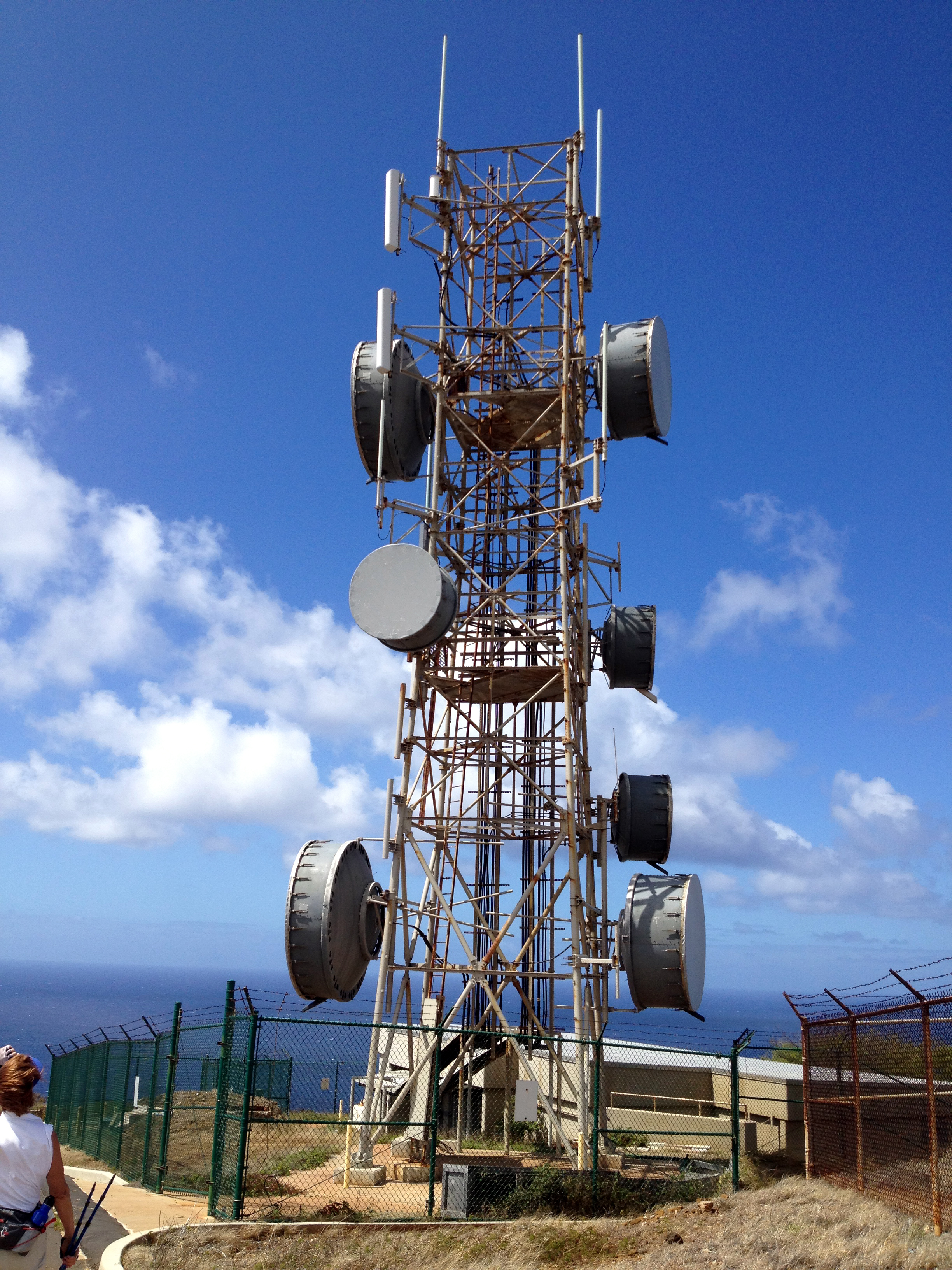
Towards the top, you will begin to come upon some large cell and microwave towers. Also, for you techies, there is a huge GPS tracking antenna up here. It is like a 100 yard fenced in circle with a big giant marshmallow thingy in the middle. A giant dish in the ground if you will. I wouldn’t go in there if I were you though. It looks like the kind of thing that could boil your brain if you get too close! If you continue past the towers, you can catch a great view of Diamond Head and Hawaii Kai side. Relax, enjoy and drink some water before heading down into the crater.
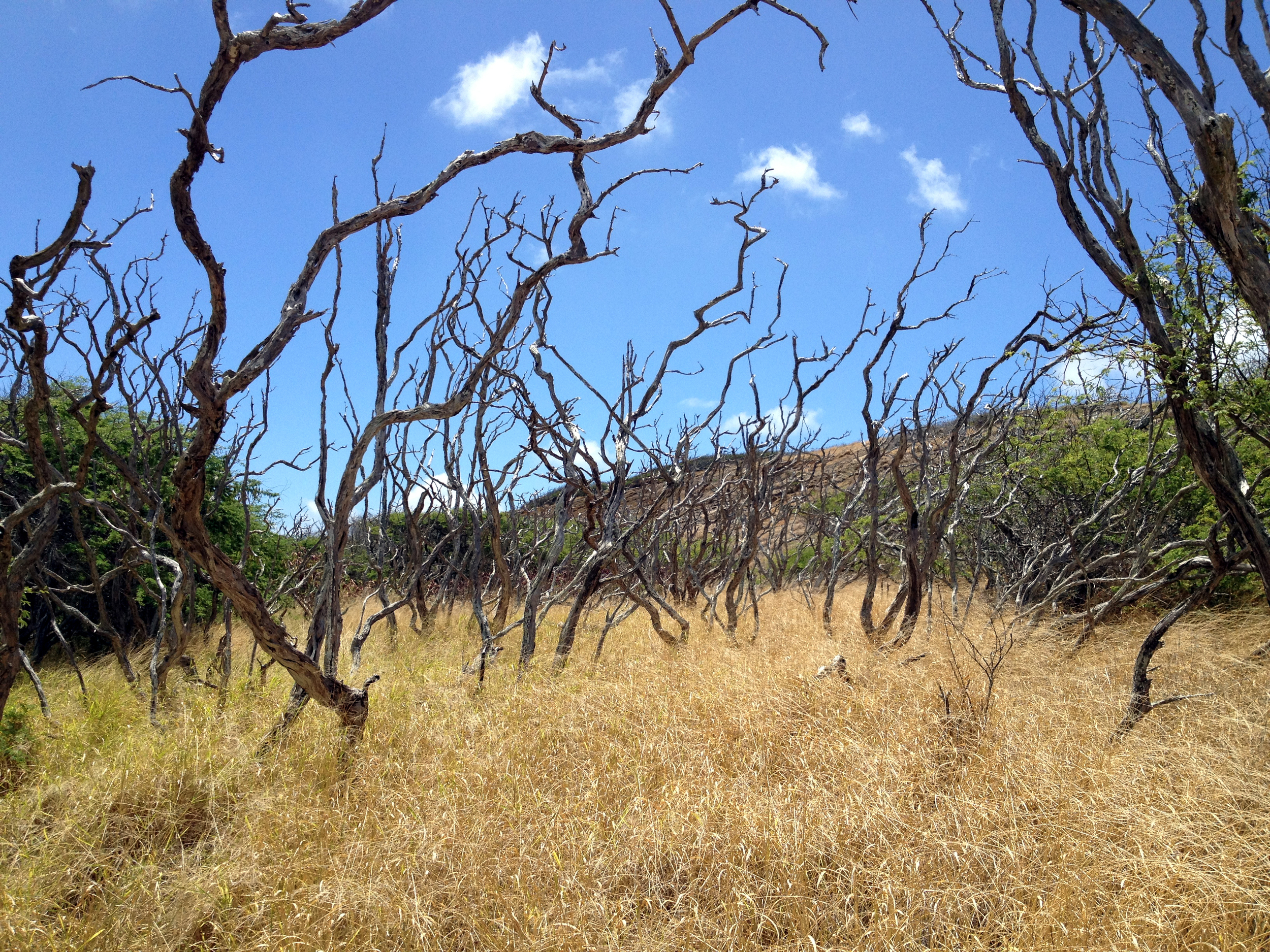
 Back track down the road a bit until you see a steep dirt and smooth rock road heading down to your right. From here, you can see the road as it winds out to the point. Just head there. Down, down, down you go. This road is used by fishermen primarily. It is steep in a few places so watch your step. Eventually the road will begin to flatten out. There is a fork to the right that you can go down and discover some time later. For this hike, I wanted to head left into the bushes toward a hidden Heiau. On the map, I indicated where to head off. It is a small and easily missed trail. Also, the weeds and grass can get high, so some bush wacking may be necessary. Just follow the most logical direction here. Through the trees and brush, Koko Head should be ahead and up to the left at about 10:30. Your destination is a large clearing past the trees. Take your time, and watch your step.
When you get to the clearing, you are standing in a sacred spot to some. Apparently, it is the ancestral land and home to `Ihi`ihilauakea. Tread lightly as you head across the field to the opening in the distance. You may be walking on graves, so you may want to stay around the perimeter to the left. Sounds creepy, but there is a serenity about this place and it feels nice. People just seem to subliminally get quiet as they walk through this place. Energy…
 When you hit the other side, WOW!!! Look down!!! The bay is fabulous from here! You can see all the way to the point as well as to the beach at the base of the cliffs. In the distance, you can see the other point of the bay. I will head out there soon and give you an update in a few weeks.
I can see why those people lived here so many years ago. There is everything one needs. Land to cultivate, sun, rain, and all the reef fish one could desire in an amazing and beautiful bay. A safe vantage point all the way down the side of the island is a plus as well. I wonder if I can build a house here? Hmmmm…
 Time to head out. Up, up, up you go. Just to the right of the heiau entrance, you will see a big Mars like hill side. The ground under your feet is red volcanic sand with many types of igneous rocks strewn about. I find it beautiful. Yup, that’s where you need to head. After you reach the peak of this hill, you will see the trail in the distance that takes you back up to the road. Up, up, up…
The rest is obvious. When you hit the road you came in on, just head down, down, down…
Have fun out there!!! And grab some Caches on the way!!!
Happy trails ya’ll!!!
JWM
